
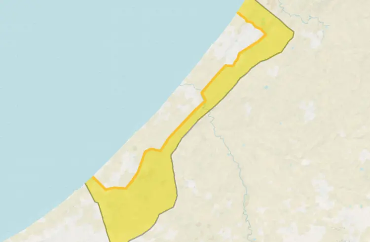
The British BBC network reported that Israeli occupation forces have moved the concrete blocks that were supposed to mark the line of their deployment after the ceasefire to greater depths inside the Gaza Strip at several locations, according to satellite images.
The occupation had agreed to withdraw its forces to beyond a line marked in yellow on its military maps, which was fixed on the ground using yellow concrete blocks, in accordance with the terms of the ceasefire agreement. However, it did not adhere to this commitment. In Beit Lahia, Jabalia, and the al-Tuffah neighborhood east of Gaza City, occupation forces initially set up barriers before later relocating them further into the Strip.
The total number of sites where the markers were moved reached 16. In the al-Tuffah neighborhood specifically, satellite images show that the occupation army moved at least seven blocks that had been placed between November 27 and December 25. According to the analysis, the markers were shifted by an average distance of about 295 meters deeper into the coastal strip.
In addition to the relocated blocks, the BBC’s verification service identified 205 additional markers, more than half of which were placed much deeper inside the Strip compared to the line indicated on the maps.